Physical Geography
Taygetus and Lykaion mountains separate Messenia from Arcadia; Alpheios and Pineios rivers drain westward to Ionian Sea. Western Peloponnese receives higher rainfall than Aegean slopes, supporting olive and citrus agriculture.
Coastal plains near Pyrgos and Katakolo host port infrastructure linking hinterland farms to Mediterranean shipping routes.
Historical Regions
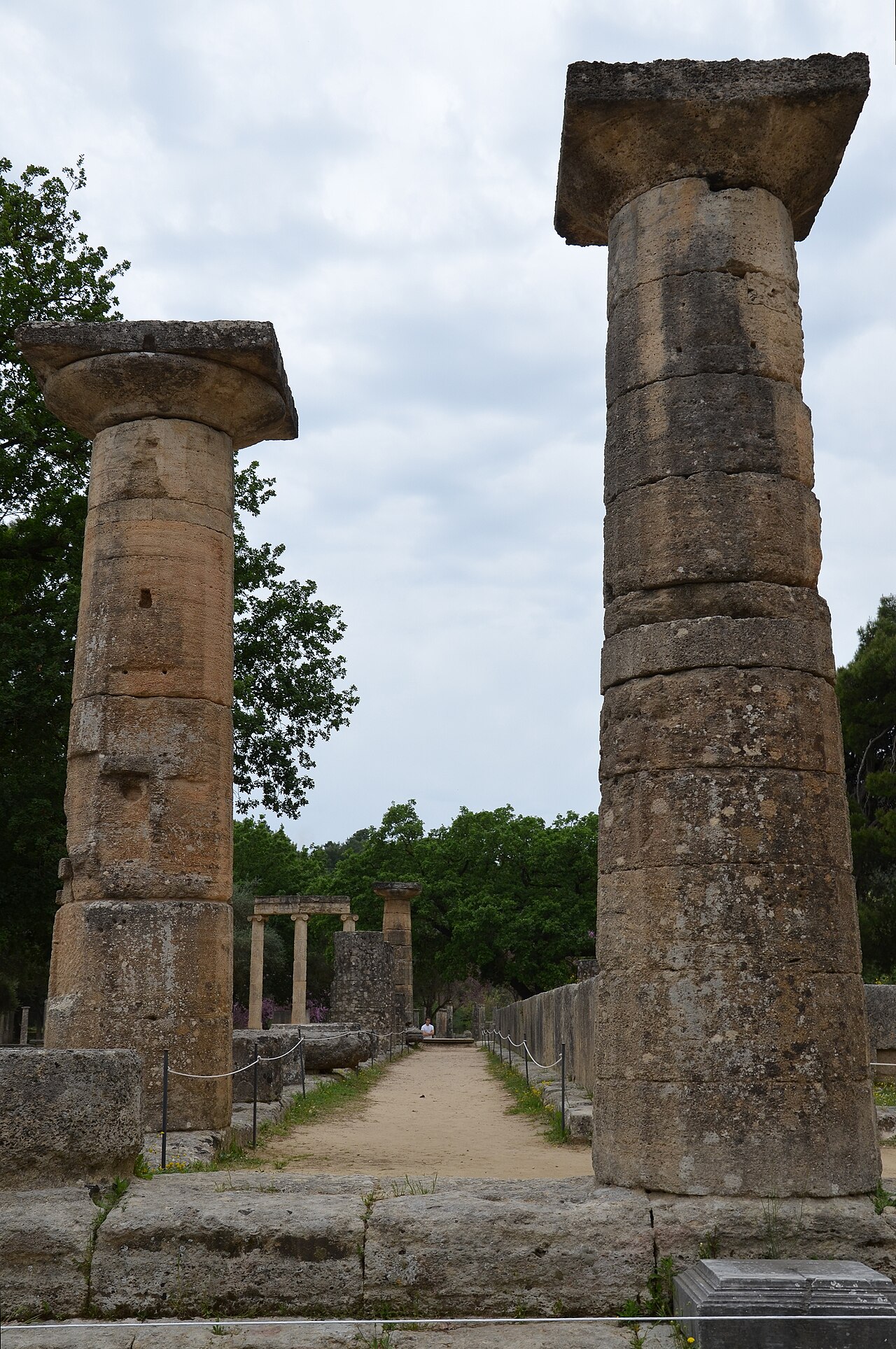
Elis controlled Olympia sanctuary; Arcadia retained pastoral reputation in classical literature; Messenia experienced Spartan conquest and helot rebellions. Byzantine and Frankish periods added castle architecture and church networks.
Ottoman and Venetian episodes left administrative imprints visible in village naming and fortification ruins along coasts.
Contemporary Rural Life
Villages maintain olive cooperatives, wine smallholdings and tourism services around archaeological zones. EU agricultural subsidies and organic certification reshape traditional practices.
Western Peloponnese is less crowded than Cycladic islands — ideal for slow travel combining beaches, ruins and mountain drives.
Cultural Identity
Music, dance and festival calendars differ by district — clarinet-led demotika in some villages, maritime songs on Ionian coast. Olympic heritage functions as shared Panhellenic symbol transcending local rivalries.
Emigration histories to Australia, Germany and North America maintain diaspora links through cultural associations funding church restorations and youth language schools.